PRINT AS PDF
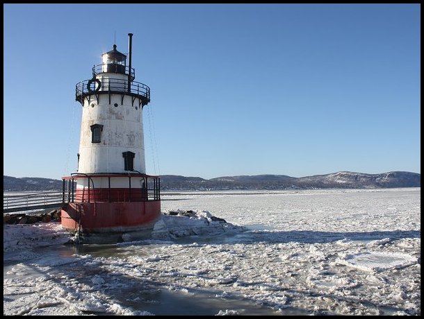
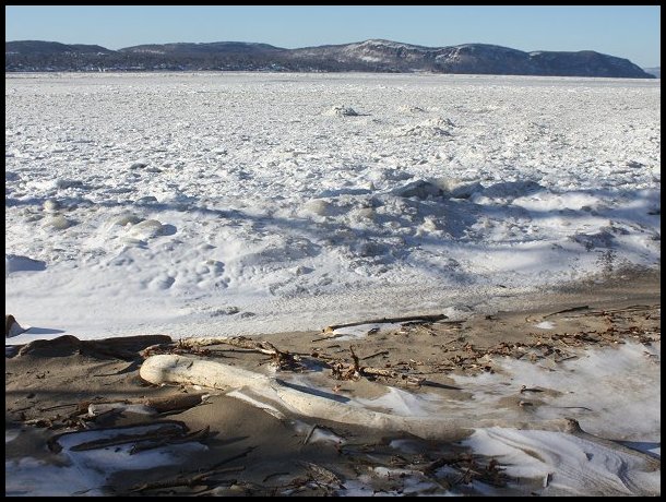
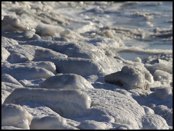
Late December 2017 through early January 2018 featured the most sustained period of deep cold that the New York City area has seen in more than 50 years. From December 26 through January 7, the temperature remained below freezing. That was the longest such period since January 19-February 3, 1961 when the temperature remained below 32° for 16 consecutive days. In addition, New York City saw 12 consecutive days on which the low temperatures fell below 20°. The last time the City saw such cold occurred from January 19 through February 3, 1961.
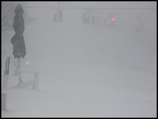
In addition, this period of cold featured two snowfalls. On December 30, a fast-moving clipper system brought 0.7” snow to New York City. On January 4, a “bomb cyclone” well off the coast over the Atlantic Ocean brought blizzard conditions to a large part of the area. Blizzard criteria, which consists of sustained winds or frequent gusts greater than or equal to 35 mph, considerable falling and/or blowing snow, and visibility frequently reduced to less than ¼ mile over a three-hour or longer period, were met in a large number of locations in the New York City area, Hudson Valley, and Long Island. Stations meeting blizzard criteria were JFK International Airport, La Guardia Airport, Islip’s MacArthur Airport, Farmingdale’s Republic Airport, Brookhaven Airport (Shirley, NY), Westchester County Airport in White Plains, Bridgeport’s Igor I. Sikorsky Memorial Airport, Danbury’s Municipal Airport, and Groton-New London Airport. At one point during the blizzard, Westchester County Airport reported sustained winds of 40 mph with gusts to 58 mph. Snowfall amounts ranged from 12”-16” on Long Island to 9.8” at New York City’s Central Park.
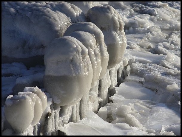
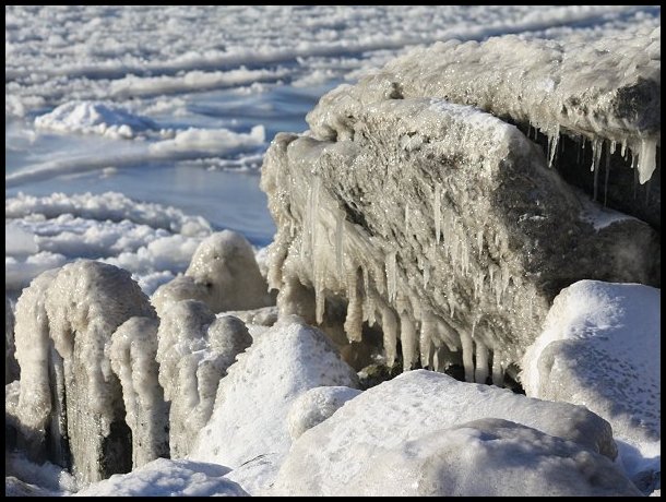
Some photos from this period are below:
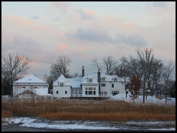
After a light snowfall on December 30, 2017
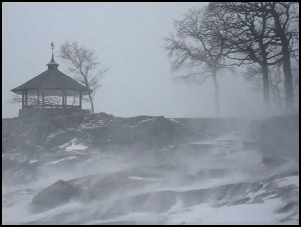
During a blizzard (January 4, 2018)
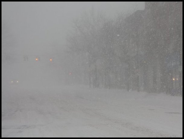
During a blizzard (January 4, 2018)

